
Civil Engineering
- Municipal Infrastructure Design
- Land Development Services
- Construction Management & Observation
- Road Design & Traffic Analysis
- Water Supply, Distribution & Treatment
- Wastewater Collection & Treatment
- Storm Water Drainage & Flood Control
- Site Grading
- Revegetation & Erosion Control
- Land Use Constraint Mapping
- Dams & Reservoirs
- Groundwater
- Irrigation Systems
- Solid Waste & Environmental Services
Surveying
- Aerial Mapping Control
- ALTA/ASCM Survey
- As-Built Survey
- Construction Surveying
- Easement & Right-of-Way Survey
- Improvement Location Certificate
- Mining Survey
- Monument Establishment, Restoration & Rehabilitation
- Property Boundary Survey
- Property Improvement Survey
- Subdivision Surveying
- Topographic Survey
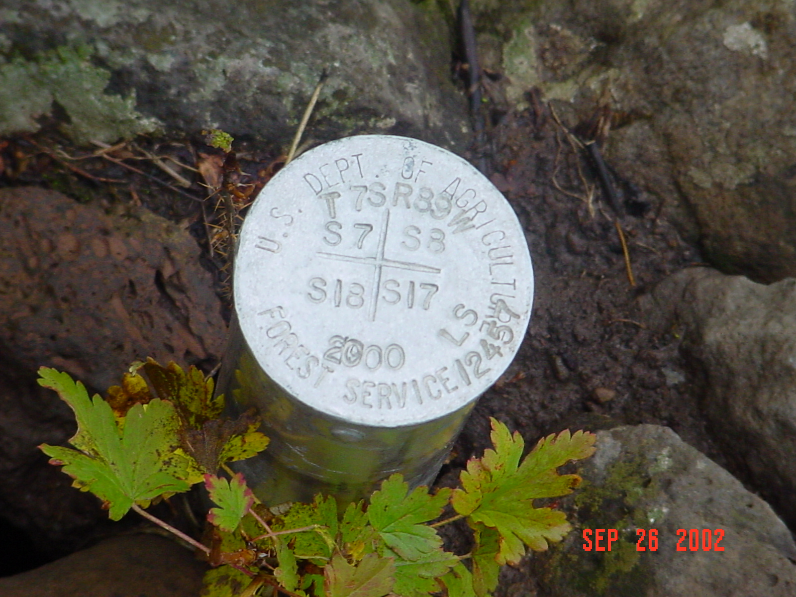
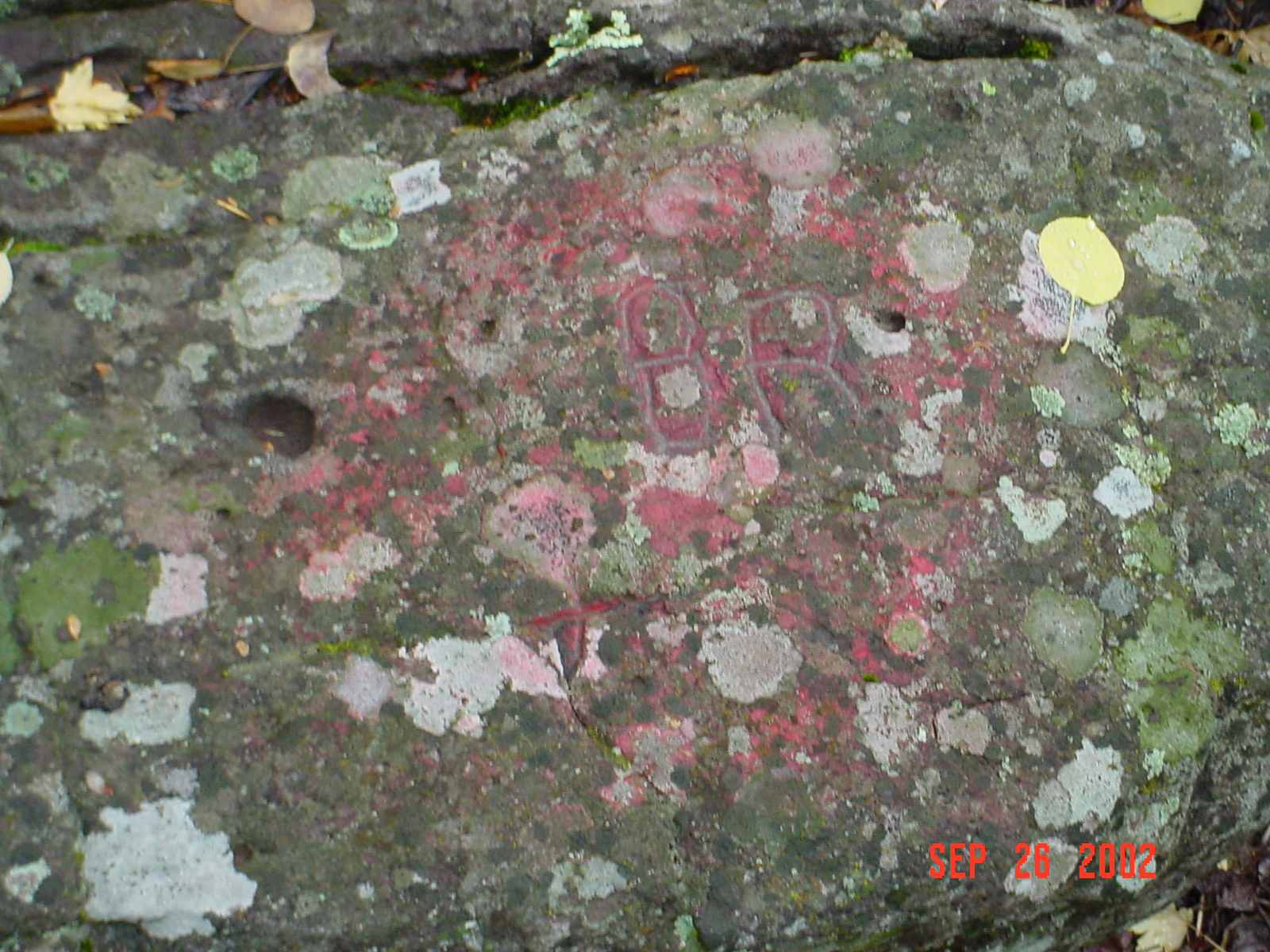
What is a Monument:
Monuments are markers placed in the field using precise measuring devices and surveying techniques representing nothing more than a point in space. Monuments are used to show property corners, tract corners, flood control elevations, section corners for the public land survey system, rights-of-way, state and national boundary lines, and benchmarks for a wide variety of uses including navigation and GPS systems. Monuments can be anything from a brass or aluminum cap with a surveyor's number printed on it to a rock with an "X" chiseled into it by a pioneer in the 1800's.
From time to time, monuments become lost, destroyed, or obliterated and a property owner or developer would require a surveyor to relocate and restore the monument. According to Colorado State Law, public land survey monuments that are destroyed must be restored during the process of submitting a boundary survey or subdivision plat.
More Information:
- The Virtual Museum of Surveying includes two well written articles on the difference between a Metes & Bounds Survey and the Public Land Survey System and the origins of the Public Land Survey System.
- The Hawaiian Volcano Observatory has a nice article describing benchmarks and their uses.
Consulting Engineers & Land Surveyors
113 Ninth Street, Suite 214
Last Modification: April 20 2005